
Public Land Deer Strategy: What the Access Actually Requires
Marcus Webb · September 20, 2026
I checked a Wisconsin DNR parcel map three times last November before I ever unloaded the truck, and I still ended up parked on a fire lane I wasn’t supposed to be on. A warden pulled up, not unfriendly about it, and pointed me to the actual pull-off a quarter mile back. No citation, just…
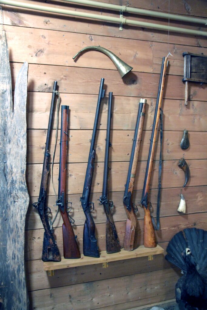
I checked a Wisconsin DNR parcel map three times last November before I ever unloaded the truck, and I still ended up parked on a fire lane I wasn’t supposed to be on. A warden pulled up, not unfriendly about it, and pointed me to the actual pull-off a quarter mile back. No citation, just a correction. That’s the thing about public land deer hunting that doesn’t show up in most of the how-to pieces: the terrain and the deer are only half of what you’re managing. The other half is the paperwork, the boundary lines, and the fact that forty other guys read the same regulations digest you did.
Public land deer hunting is a different animal than leased or family ground, and I mean that beyond the obvious pressure problem. The access rules themselves shift the strategy before you ever get to scouting a rub line.
Start With the Boundary, Not the Buck Sign
Every state manages its public tracts a little differently, and the regulations aren’t always intuitive. National forest land generally allows dispersed camping and stand placement under different rules than a state wildlife management area does, and WMAs themselves vary county to county in a lot of states. Some require stands to come down daily. Some cap the number of trail cameras. Some restrict vehicle access to gated roads that close on specific calendar dates tied to gun season, not bow season.
I’d tell anyone starting out to pull the actual regulations digest for the specific unit, not just the statewide summary. The U.S. Fish and Wildlife Service maintains general access info for federal refuge lands open to hunting, but the day-to-day rules for state WMAs sit with your state fish and wildlife agency, and those PDFs get updated yearly. To be clear, a regulation that applied to a tract in 2022 may not apply now; management units get redrawn, seasons shift by a week, and some parcels that allowed rifle hunting suddenly go archery-only because of a nearby subdivision that wasn’t there five years ago.
Pressure Management Is the Real Skill
Anybody can find deer sign on public ground during the first week of archery season. The skill is figuring out where the other hunters aren’t willing to walk. I’ve watched this play out at a tract outside Antigo for years running; the parking area fills by 5 a.m. opening weekend, and every single one of those trucks belongs to a guy who’s going to walk the same mowed trail into the same ridge because it’s the path of least resistance off the lot.
That means the deer holding closest to the lot get hammered by mid-morning of day one, and anything within a half mile of a marked trailhead gets nocturnal fast. My honest take, and I’ll admit some guys disagree with me on this, is that most public land hunters overvalue trail camera data and undervalue a topo map and a willingness to cross a creek nobody else wants to get wet crossing. A half-mile walk-in through bad footing does more for your odds on heavily hunted ground than any piece of gear you can buy.
This is also where a lot of hunters get their strategy backwards from what worked for the same species on private acreage. If you’ve read our piece on Wisconsin whitetail season tactics, you already know pressure timing there runs differently than say, western mule deer country. On public desert ground in Nevada, the pressure dynamic is spread thinner because the country’s bigger, but water sources become the choke point instead of trailheads. Same principle, different bottleneck.
Weapon Choice Changes the Access Math
What you’re allowed to carry, and where, isn’t uniform even within a single state’s public land system. Some WMAs run separate archery-only zones inside a larger unit that allows rifles during gun season; a hunter who doesn’t check that overlay can end up legally hunting the wrong weapon in the wrong section of the same tract without realizing it. This matters more on fragmented public ground, like small WMA parcels scattered around a county, than on a single contiguous national forest block.
If you’re weighing rifle versus bow for a specific public unit, it’s worth reading through our comparison on bowhunting versus rifle season before you commit, because the tradeoffs on public ground aren’t just about range and effectiveness. They’re about which season draws fewer bodies to the same parking lot, and which weapon lets you hunt the section of the tract with the lower access requirements.
Caliber selection matters too, though less for legal reasons than practical ones on public ground; you often don’t get a controlled shot lane the way you would from a private box blind, and shots can run longer or come at odder angles through timber. Our breakdown of .308 versus 6.5 Creedmoor for hunting covers some of that tradeoff if you’re still deciding on a rifle for mixed public terrain.
Transporting Your Firearm Onto and Off the Tract
This is where I see the most confusion, honestly, because hunters assume that once they’re “in the woods,” the transport rules from the drive over don’t matter anymore. They still do, particularly if the tract borders a state highway or if you’re passing through a day-use area to reach a hunting zone. Some states require the firearm to be unloaded and cased until you’re physically within the designated hunting boundary; others allow a loaded long gun once you’re on foot within the WMA but not in the vehicle at any point.
Arizona hunters dealing with mixed BLM and state trust land access issues run into this constantly, and our guide on Arizona firearms transport laws walks through how those rules actually apply for public tracts that touch multiple jurisdictions. If you’re hunting across a state line during the same trip, or driving through a state you don’t live in to reach a public unit, check our piece on interstate transport before you load the truck; some states have reciprocity quirks that catch out-of-state hunters who assumed their home state’s transport rule traveled with them. Check your local laws before you make that assumption, because a transport violation on the drive in can undo an otherwise clean, legal hunt.
Scouting Without Burning the Spot
Public land scouting has an uncomfortable truth to it: every camera check, every scent trail you leave walking in, tips off both the deer and the next hunter who finds your boot prints. I keep scouting trips to twice pre-season on any tract I’m serious about, once in late summer to confirm food sources haven’t shifted, and once about ten days before opener to check for fresh rubs and scrapes without pushing deer out of the area.
I’ll admit I used to over-scout early in my public land years; I thought more trips meant better data, but what it actually meant was more disturbed ground and more of my own scent laid down across the exact trails I wanted deer using undisturbed on opening morning.
Trail camera placement rules deserve their own check, too. A growing number of states now regulate cellular trail cameras on public land separately from standard cameras, sometimes banning them outright during certain seasons to reduce what wildlife agencies call “real-time hunting pressure.” The National Shooting Sports Foundation tracks a lot of this policy movement at nssf.org, and it’s a decent place to see which states are trending toward tighter camera restrictions before your season opens.
Building the Actual Day-One Plan
My approach on a new public tract starts with identifying the three hardest access points on the map, not the easiest. That’s usually a wetland crossing, a steep drainage, or a stretch with no marked trail at all. I’ll walk all three during the summer scouting trip, in boots I don’t mind ruining, and I pick whichever one has fresh sign that also happens to be the least comfortable walk. It’s not a glamorous system, but it’s worked more often than the camera-heavy approach I used when I started out.
Stand or blind placement should account for retrieval, too, something a lot of public land guides skip over. If you drop a deer eight hundred yards from the truck through timber with no trail, you’re field dressing and dragging in the dark, possibly across land you don’t have a clear boundary read on after sunset. Our field dressing walkthrough covers the basics once the animal’s down, but the planning for that drag needs to happen before the shot, not after.
A Few Things I’d Tell a First-Timer
Public land deer hunting rewards patience with the map more than patience in the stand, oddly enough. The guys who do well year over year on heavily hunted state land aren’t necessarily the best shots or the most disciplined sitters; they’re the ones who treated the regulations digest and the topo map as seriously as the rifle itself.
Worth adding here: don’t assume last year’s boundary or season dates carry forward unchanged. Units get redrawn, access points get gated for habitat work, and archery-only zones sometimes expand after a state agency reviews harvest data. Check your local laws and your specific unit’s current regulations before the season, not from memory of how it worked the year before.
– Marcus Webb, Gun Laws & Policy Editor